
We got tired of tracking lots on marked-up PDFs
ForgeLot started as a way to solve our own problem: turning a design alignment into a construction lot register without losing an afternoon to spreadsheets.
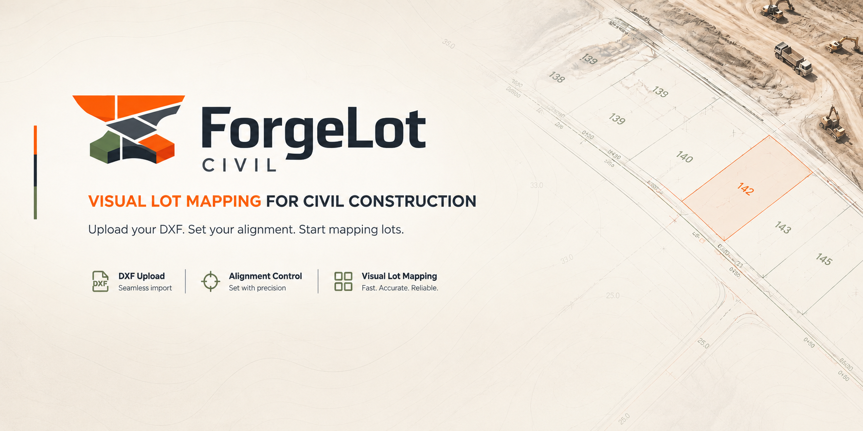
Where ForgeLot came from
We've run civil earthworks jobs, the kind where the alignment lives in a DXF, the chainage lives in someone's head, and the lot register lives in whichever spreadsheet was last emailed around. It worked, in the sense that the job got built. But every handover, every site meeting, every "where are we up to on layer two" question meant reconciling three different versions of the truth.
We built the first version of ForgeLot to fix that for ourselves: import the alignment, generate chainage markers, draw lots by chainage range and offset, and let the software work out the area instead of a calculator. It stuck, so we kept building it.
We're a small team of engineers and developers who still think in chainage and offsets, and we'd rather ship something useful for the next job than something impressive on a slide.
What that looks like day to day
We build in small, testable steps, and we test workflows against real alignment files and real chainage ranges before we ship them.
- Every feature starts from a step someone does on site, not a feature list
- We validate new workflows against real DXF alignments, not sample data
- Export formats (CSV, PDF) are treated as a first-class part of the product
- We'd rather say no to a feature than ship something that quietly gets a chainage wrong
Four things we won't compromise on
These shape every decision we make about what ForgeLot does and doesn't do.
The map is the source of truth
A lot register is only useful if it matches the ground. We start from the alignment and the chainage, not from a table someone typed up after the fact.
Engineers shouldn't fight software
If a workflow needs a training day before it's useful, it's not finished. ForgeLot should feel like the tool you already had in your head.
Your data is yours
Your DXF files, your alignment, your lot register, they belong to your project and your organisation, not to us.
Built from the site up
Every workflow in ForgeLot, import, lock, chainage, lots, export, mirrors a step someone actually does with a survey pack and a laptop in a site office.
Themes we're working on
Not a dated roadmap, the areas we keep coming back to as we talk to teams using ForgeLot.
- Deeper support for more alignment and survey file formats
- Richer offline behaviour for teams working with patchy site connectivity
- More flexible reporting so registers match how your organisation already reports progress
- Better ways for supervisors and engineers to hand work back and forth on the same lot
Want to work with us?
If you're running earthworks jobs and want to talk about how ForgeLot could fit your workflow, or you'd just like to tell us what's missing, we'd like to hear from you.
Get in touchStop guessing what's been built.
Import your alignment, forge your lots and share a live picture of progress with the whole team.
14-day free trial · Cancel anytime · Your data stays yours