
Construction quality management software for civil earthworks
ForgeLot is quality management built around the lot: every inspection, test and layer sign-off sits on a live map of the corridor, not in a spreadsheet nobody trusts.
Spreadsheets, generic QA platforms and ForgeLot
Most civil teams manage lot conformance in a spreadsheet or a general construction QA platform. Both hold records; neither shows you where the work actually is.
| Capability | Spreadsheet | Generic QA platform | ForgeLot |
|---|---|---|---|
| Lot register kept in one place | |||
| Lots positioned on a live satellite map | |||
| Lots defined by chainage and offset from a DXF alignment | |||
| Layer-by-layer conformance history on one footprint | Partial | Partial | |
| Inspection and testing status visible without opening records | Partial | ||
| Gap and overlap checks across the corridor | |||
| Areas and quantities derived from lot geometry | |||
| CSV and PDF register export for the superintendent | |||
| Shared team workspace with roles | Partial | ||
| Change history with undo | Partial |
Comparison reflects ForgeLot's shipped features and the typical capabilities of spreadsheet registers and general-purpose construction QA platforms. Capabilities of other products vary by vendor and plan.
Quality management that speaks earthworks
ForgeLot is not a generic forms tool retro-fitted to civil work. It is built around lots, chainage and layers.
ITP status built into the map
Lots move through Awaiting Inspection, Awaiting Testing, Passed and Rework Required. The map recolours as status changes, so held work is obvious before a crew rolls onto it.
Conformance recorded layer by layer
Subgrade, capping, subbase and base course each keep their own status and history on the same lot, so a passed lower layer is never mistaken for a finished build-up.
Quality tied to real location
Every lot carries chainage, offset and geometry, so a conformance record can always be traced back to the exact ground it covers.
Registers you can hand over
Export the lot register as CSV or PDF with layers, statuses, areas and dates already structured the way road authorities and superintendents expect.
Audit trail with undo
Changes are recorded as you work, so you can see what moved, when, and roll back a mistake without rebuilding the register.
One shared source of truth
Engineers, surveyors, QA leads and the superintendent all read the same map and register instead of trading spreadsheet versions.
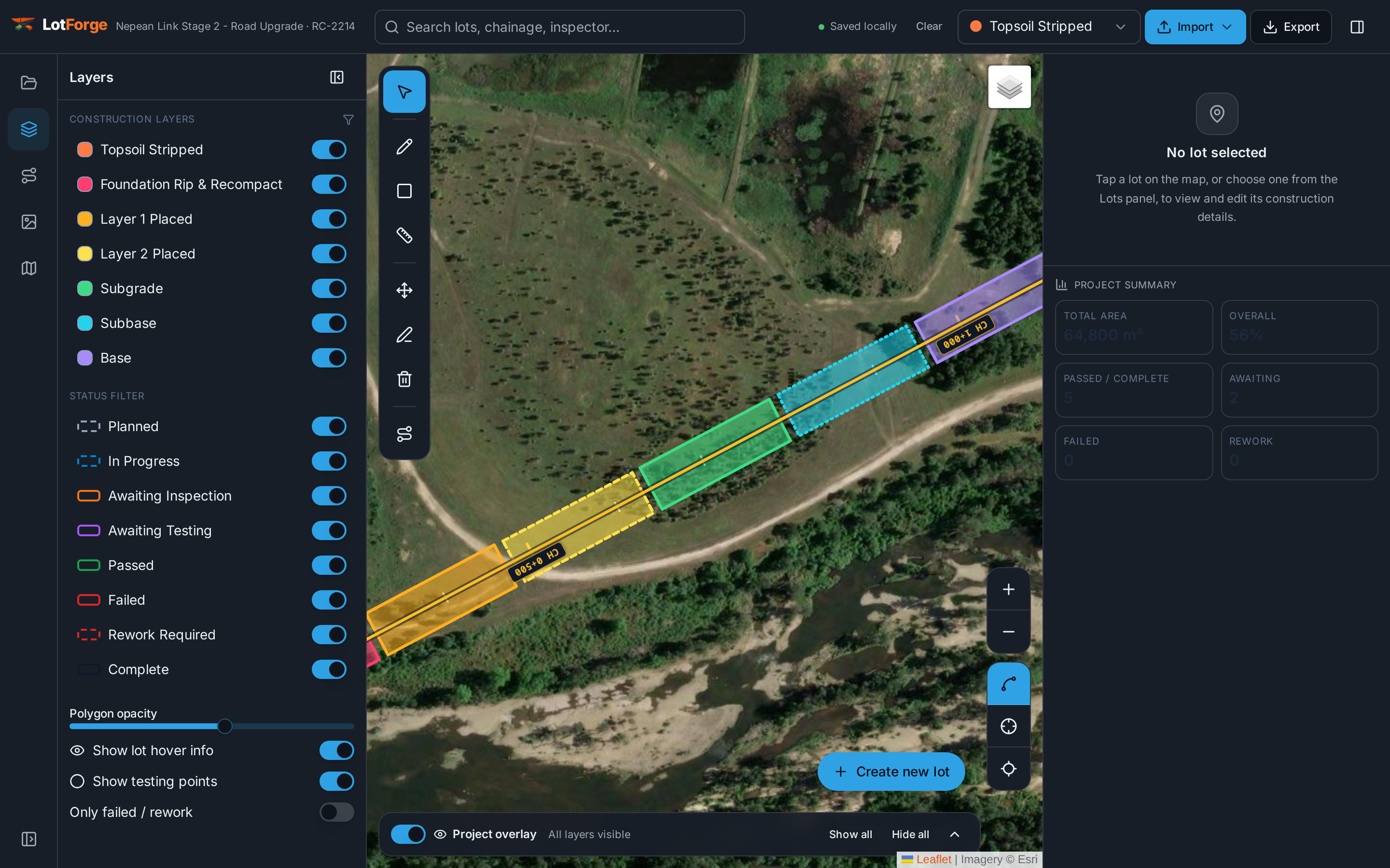
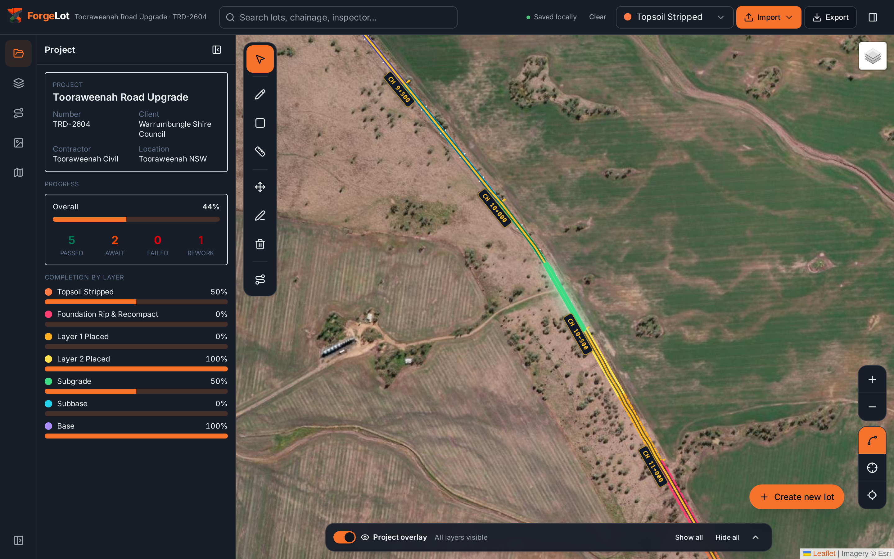
Progress and conformance in the same view
Completion by layer, lot counts and status breakdowns come from the same records your team updates on site, so the report is never a separate exercise.
Stop guessing what's been built.
Import your alignment, forge your lots and share a live picture of progress with the whole team.
14-day free trial · Cancel anytime · Your data stays yours