
Bulk earthworks lot tracking on a live map
ForgeLot turns cut and fill packages into a visual lot register: area-based lots, layer-by-layer progress from topsoil strip to finished surface, and exports that match how your superintendent wants to see it.
A spreadsheet can't show you what's actually been built
Cut and fill packages need a clear picture of what is stripped, recompacted and ready for the next lift. ForgeLot keeps that picture live for the whole team.
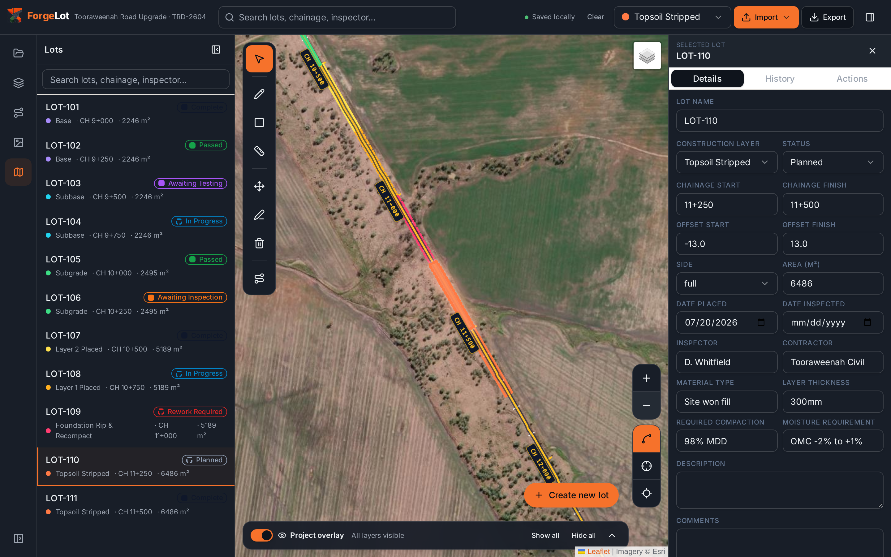
Area lots for wide work fronts
Bulk earthworks rarely follows a neat corridor. Draw area lots straight onto the satellite or drone imagery, or generate them from chainage and offset where an alignment exists.
Every lift tracked separately
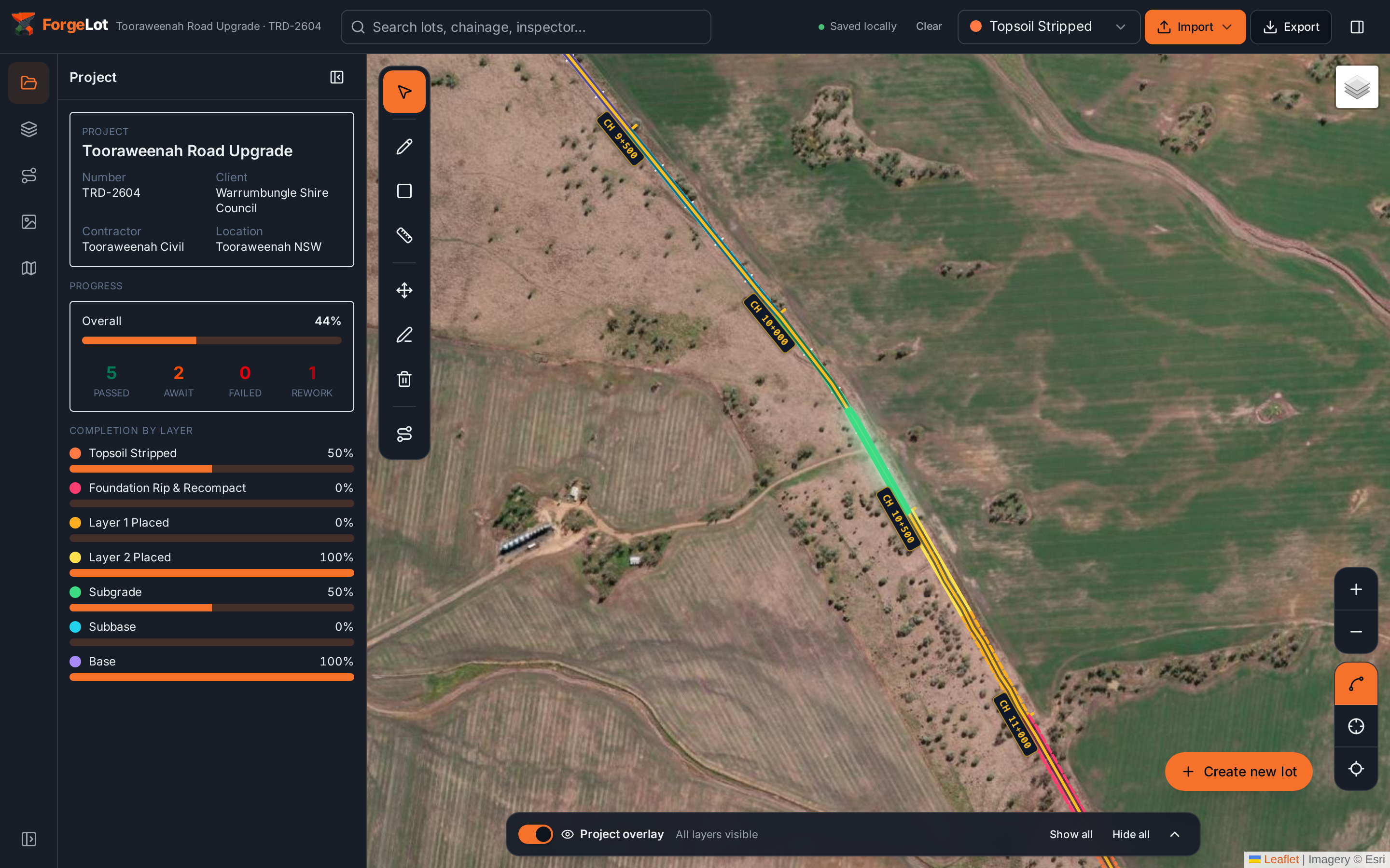
Topsoil strip, foundation rip and recompact, and each fill lift sit on the same footprint with their own status, so a signed-off layer is never confused with the one above it.
Inspection and testing status at a glance
Move lots through Awaiting Inspection, Awaiting Testing, Passed and Rework Required. The map recolours instantly, so crews know which pads are released for the next lift.
Areas and quantities calculated for you
Lot areas are computed from the drawn geometry, so progress claims and quantity summaries come off the same source of truth as the map.
Registers the superintendent accepts
Export a CSV or PDF lot register with layers, statuses, areas and dates already structured for handover and progress reporting.
Built for pace on site
Earthmoving crews move faster than a spreadsheet. Forge lots ahead of the work and update them from the field as each area is completed.
From topsoil strip to finished surface
Each layer carries its own status and history on the same lot footprint, so progress is never overstated.
Topsoil strip
Record the stripped extent as it happens so nobody re-strips ground or loses track of stockpile sources.
Foundation rip & recompact
Capture proof roll, moisture conditioning and compaction results against the exact area they cover.
Fill lifts
Each lift is its own layer on the same lot, giving a complete vertical history of how the pad was built.
Trim & finished surface
Close out the pad with survey conformance and status, ready for pavement, slab or structure crews.
From site boundary to live lot register
Most earthworks teams have their first lots mapped within an afternoon.
- 1
Import the design
Upload the DXF and confirm the coordinate system. Satellite and drone imagery loads underneath automatically.
- 2
Forge the work areas
Draw area lots over each pad or work front, or generate corridor lots from chainage and offset.
- 3
Track and export
Update layers and status as lifts are completed, then export the register for claims and handover.
Stop guessing what's been built.
Import your alignment, forge your lots and share a live picture of progress with the whole team.
14-day free trial · Cancel anytime · Your data stays yours